Berlin — Cyber City, 1989
Berlin
The interactive installation Berlin — Cyber City is a city simulation, navigable via an aerial photograph of the urban space. The fall of the Berlin Wall provided the impetus to take a closer look at Berlin’s development and urban planning. The project was aiming at building an interactive space for exchanging knowledge.
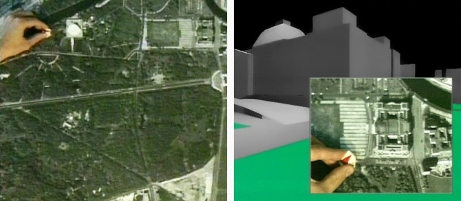
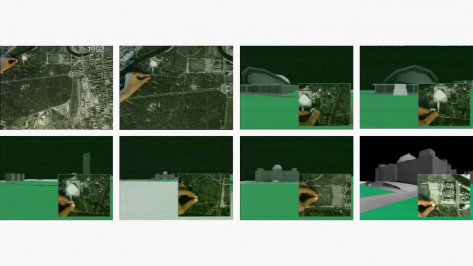
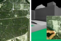
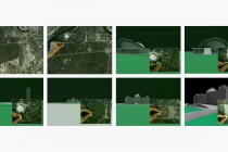
Berlin — Cyber City was an urban interface involving East- and West Berliners in Berlin’s future development and urban planning. On a table lies a city plan, an aerial photograph of the actual city of Berlin. If you point to a particular place with your finger, or run it along a street, the spatial image of the city is displayed as a moving image on a large electronic screen on the wall. The interaction is made possible by a sensor on the user’s finger. The sensor determines the position of the finger on the map and on the digital city model so that the perspectives on the video wall correspond in real time. The vertical video wall corresponds to the city façade and is also a plane of reference for the communication of the onlookers.
The user can walk along the Berlin wall with the sensor in his hand and in real time. The Brandeburg Gate — that was still closed when the installation was conceived — can be walked through or overflown already. In addition to the virtual cityscape the user can browse and compare various urban planning concepts including the ones for Potsdamer Platz. Berlin — Cyber City combines reconstruction, future planning and video material of cavities and access points to the historic underground of the city such as the Potsdamer Platz underground station and the Nazi bunker nearby. One of the project’s goals was to stir debate on the urban planning before the Sony and Daimler buildings would architecturally dominate the space.
The project was supported by the Berlin Senate and Telekom/Berkom, Berlin.