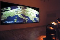
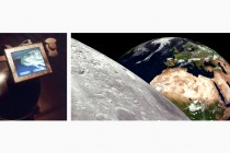
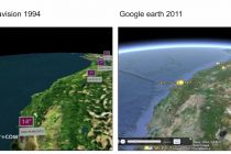
Terravision, 1994
But it takes more than a couple of good ideas to invent the future. It takes people who are prepared to take risks, and are willing to venture into uncharted territory and share their discoveries with others.
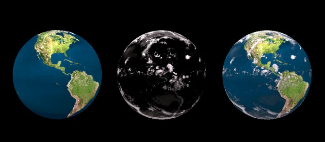
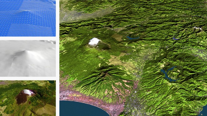
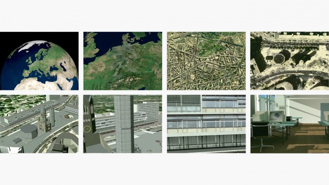
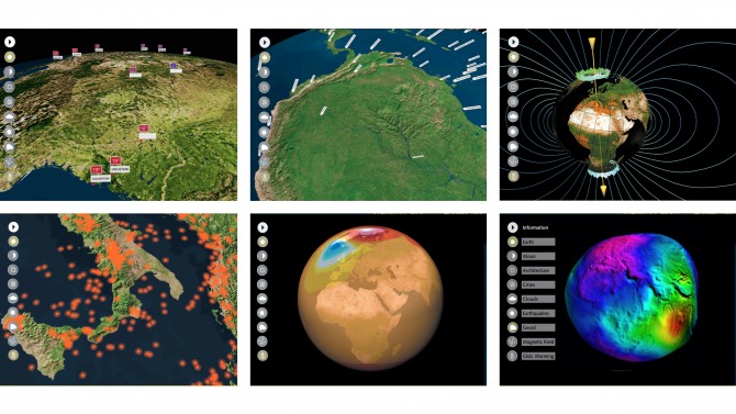
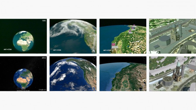
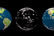
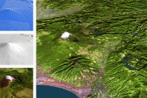
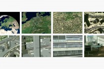
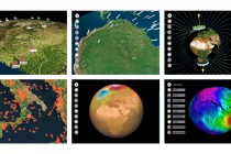
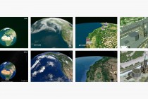
Terravision is a networked virtual representation of the earth based on satellite images, aerial shots, altitude data and architectural data. The interactive 3D application makes terrestrial data visible, tangible and, above all, interactively explorable.
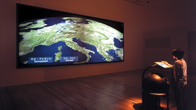
Users can navigate freely and in real time across the photorealistic virtual globe: From overviews of the earth to extremely detailed micro view, they can virtually fly toward the surface of the earth, where first continents, then cities and finally high-resolution architectural models of individual buildings become visible.
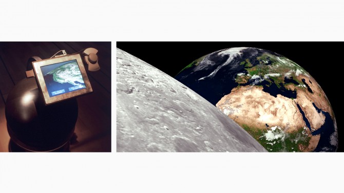
In order to navigate this data, three core components were created as an interface: a large sphere referencing the globe to pilot the planet; a 3D mouse to fly around; and a touch screen to interact with objects on the virtual earth.
Terravision was the first system to provide a seamless navigation and visualisation in a massively large spatial data environment.
All data needed were distributed and managed on decentralized servers around the globe, linked up with a broad-band network, and downloaded and displayed in real time.
Terravision is an early example of a collaborative project whose users collectively contributed to completing a larger picture—in this case, that of the whole Earth.
Pointing far ahead into the future of the internet, Terravision is an isochronous realisation of Neal Stephenson’s literary idea in the novel “Snow Crash” as well as a prequel to Google Earth.
Deutsche Telekom Berkom GmbH supported the research project.